


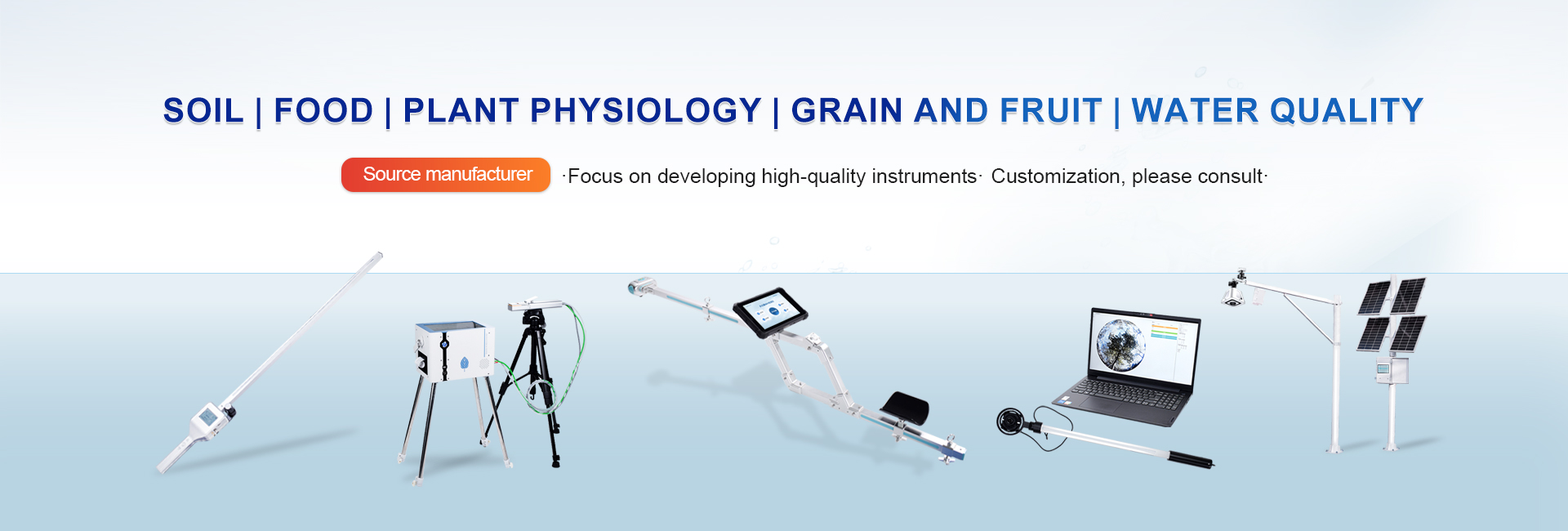


In the broad field of ecology and land surface process research, vegetation cover, as a core indicator for measuring ecosystem structure, evaluating land degradation and restoration, and estimating land surface biophysical parameters (such as evapotranspiration and albedo), has long been a crucial foundation for research and practice due to its precise measurement. Traditional visual estimation methods heavily rely on the investigator's experience and subjective judgment, resulting in results that vary depending on the person, time, and location, raising questions about repeatability and objectivity, and failing to meet the stringent requirements of modern quantitative and high-precision research. This predicament only saw a fundamental turning point with the maturity and widespread adoption of modern optical measurement technologies, represented by vegetation cover meters. Instrumental measurement is not only a technological innovation but also a profound revolution in data quality, ushering in a new era of precise measurement for vegetation cover.
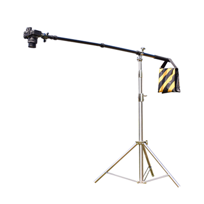
Vegetation cover meter technology itself does not directly "see" the cover, but rather, through sophisticated hardware design and algorithm processing, transforms complex optical signals into objective, traceable digital evidence. Its core value lies first and foremost in the precise definition of the "observation scale." In traditional methods, the observer's "field of view" is fuzzy and unstable. Modern vegetation cover meters, however, ensure that every measurement is conducted within a strictly defined geometric scale through standardized lens field of view, fixed measurement height, or standardized transect/quay plot layouts. This spatial standardization is of paramount importance, enabling strict geometric comparability of data acquired at different times, locations, and by different operators, laying the foundation for long-term monitoring and spatial comparative studies. The measurement process is no longer a fuzzy "estimate," but a systematic "sampling" within clearly defined boundaries.
Secondly, the instrument, through its "objective eye," completely eliminates interference and bias from human judgment. Whether using a handheld fisheye lens to photograph the canopy or a multispectral sensor to acquire images from an aerial platform, the instrument faithfully records radiation information in specific spectral bands (such as visible light and near-infrared). Vegetation and non-vegetation (such as soil, litter, and rocks) have fundamentally different spectral characteristics. Through preset, validated spectral index or color space threshold segmentation algorithms, the instrument can perform consistent classification decisions, categorizing each pixel in the image as vegetation or non-vegetation. This process is entirely based on physical measurements and mathematical rules, eliminating systematic or random biases caused by human observers' experience, psychological state, and changes in ambient light. The data thus achieves unprecedented objectivity and consistency, significantly enhancing the credibility of research conclusions. Crucially, the data output based on digital imagery has enabled a leap from single-valued measurements to multi-dimensional information structures for vegetation cover measurement. The instrument outputs not only a final percentage of cover but also the raw image data and its intermediate processing. This data is "alive," allowing researchers to redefine classification criteria and conduct retrospective analysis later based on different research objectives (e.g., distinguishing between living green vegetation and dead vegetation, identifying different functional plant types). Simultaneously, digital imagery itself contains rich spatial distribution information, allowing for further calculation of spatial pattern indices of vegetation (such as aggregation and patch size), advancing structural research from "how much" to a deeper level of "how it is distributed." The connotation and potential for data exploration have been greatly enriched. Of course, the superiority of instrumental measurement does not mean it is perfect. In practice, drastic changes in lighting conditions, extreme weather, and special vegetation types (such as those with strong reflective waxy layers on leaves) can still pose challenges to measurement accuracy. However, it is precisely these challenges that drive continuous technological iteration. Multi-angle measurement techniques are used to correct for the effects of lighting, the application of multispectral and even hyperspectral sensors improves the ability to distinguish ground features, and combining active remote sensing technologies such as lidar to acquire three-dimensional structural information to supplement the deficiencies of two-dimensional vegetation cover has become a cutting-edge development direction. Data processing algorithms are also constantly evolving, from simple thresholding methods to machine learning classification, with increasingly enhanced intelligent interpretation capabilities.
In summary, the application of vegetation cover meters marks a shift in vegetation observation from a qualitative estimation stage relying on experience and senses to a precise measurement stage based on physical sensing and quantitative algorithms. By standardizing measurement scales, eliminating subjective biases, and producing traceable multidimensional data, it fundamentally reshapes the quality connotation of vegetation cover data. This technological revolution not only solves the long-standing problem of data consistency and comparability in ecological monitoring, but also provides an indispensable and solid data pillar for a deeper understanding of ecosystem processes, accurate assessment of environmental changes, and sustainable land management by providing high-quality, high-information-density basic data.